Northern Coast Beach Town
About Vega Alta, PR
Welcome to Vega Alta, a northern-coast Puerto Rico municipality west of San Juan, known for the white sands of Cerro Gordo Beach and a 45-minute expressway link to the capital.
Vega Alta is a town and municipality on the northern coast of Puerto Rico, positioned west of San Juan between the neighboring municipalities of Dorado and Vega Baja. It covers about 28 square miles, subdivided into seven barrios, and had a population of roughly 35,000 at the 2020 census. Its residents are known as vegalteños. The municipality was founded in 1775 by Francisco de los Olivos, who originally named the settlement La Vega de Espinosa for the fertile plains that suited agriculture. The name later settled into Vega Alta, meaning "high meadow" or "upper meadow." The town center still centers on the Inmaculada Concepción Church, established in 1813, around which the traditional plaza and municipal life revolve. Vega Alta's defining feature is its coastline, anchored by Cerro Gordo Beach, one of Puerto Rico's most popular white-sand balnearios. The beach offers calm, clear water, camping facilities, water sports, and green space, drawing visitors from across the island. Inland, the Vega Alta Forest and areas such as Golondrinas Cave add natural diversity to a municipality that also claims golf courses and a rich cultural heritage. Transportation ties the municipality firmly to the San Juan metro. PR-22, the island's northern toll expressway, runs through Vega Alta and reaches the capital in about 45 minutes, while PR-2 serves as the coastal local route. Public schools are operated by the Puerto Rico Department of Education, with private options in the region. Vega Alta suits commuters, families, and retirees who want northern-coast beaches, a traditional town center, and expressway access to San Juan — coastal living on the edge of the island's largest metropolitan area.
Frequently Asked Questions
Where is Vega Alta located?
Vega Alta is a municipality on the northern coast of Puerto Rico, west of the capital, San Juan. It lies between the neighboring municipalities of Dorado to the east and Vega Baja to the west, with Morovis and Corozal to the south.
What is Vega Alta known for?
Vega Alta is best known for Cerro Gordo Beach, a white-sand balneario with calm water, sea turtles, camping facilities, and water sports. The municipality is also known for the Inmaculada Concepción Church in the town center and the Vega Alta Forest.
When was Vega Alta founded?
Vega Alta was founded in 1775 by Francisco de los Olivos, who originally named the settlement La Vega de Espinosa after the fertile plains suited to agriculture. The name Vega Alta means 'high meadow' or 'upper meadow.'
How far is Vega Alta from San Juan?
Vega Alta is connected to the San Juan metropolitan area by PR-22, the island's northern toll expressway, which has a plaza in the municipality. The drive to San Juan takes roughly 45 minutes, and PR-2 runs along the coast as a local alternative.
What schools serve Vega Alta?
Public schools in Vega Alta are operated by the Puerto Rico Department of Education, which administers schools across the island's municipalities. Private and parochial school options are also available in the surrounding northern-coast region.
How large is Vega Alta?
Vega Alta spans about 28 square miles and is subdivided into seven barrios. The 2020 United States census recorded a population of roughly 35,000 residents, who are known as vegalteños, and the municipality sits along the northern coast west of San Juan.
City Guide
About Vega Alta
Real Estate & Housing
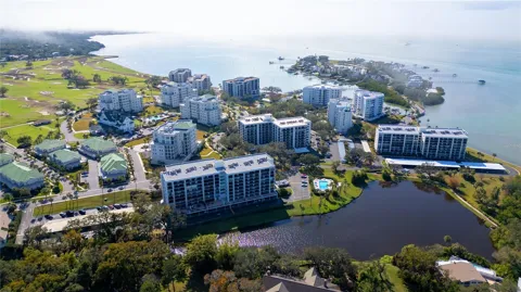
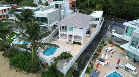
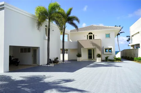
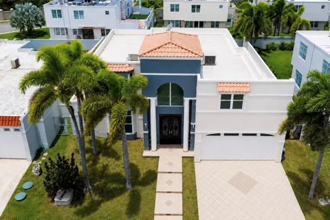
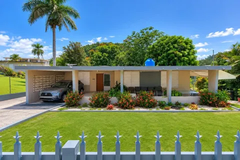
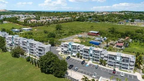
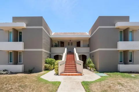
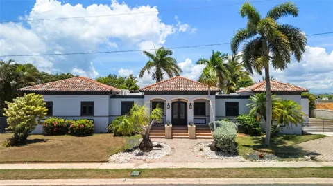
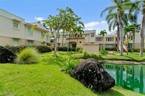
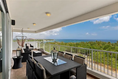
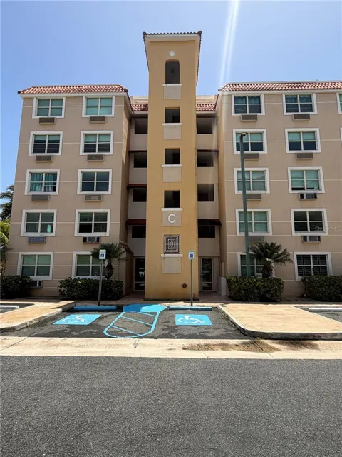
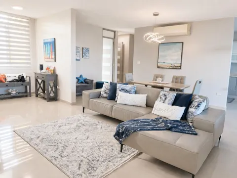
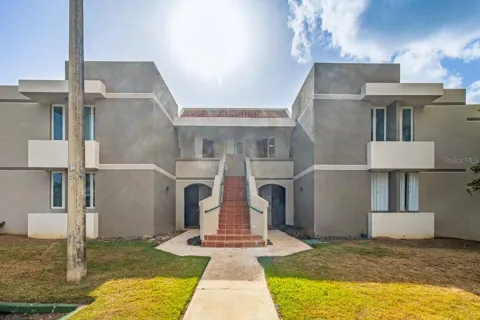
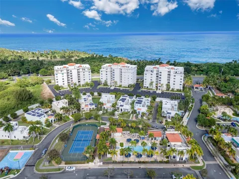
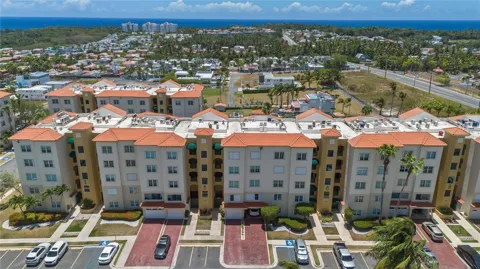
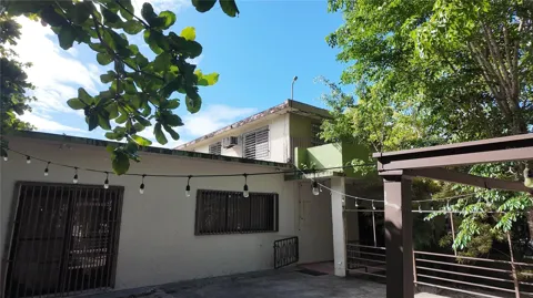
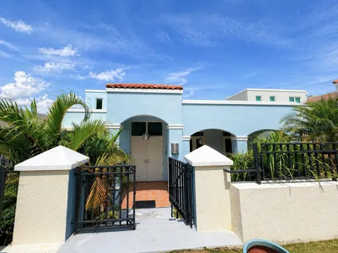
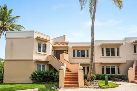
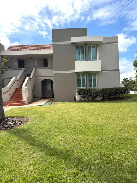
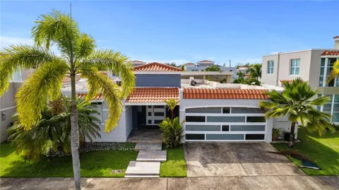
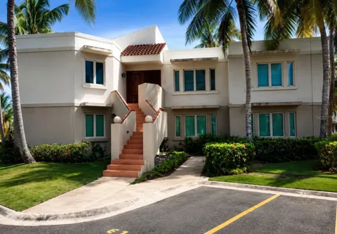
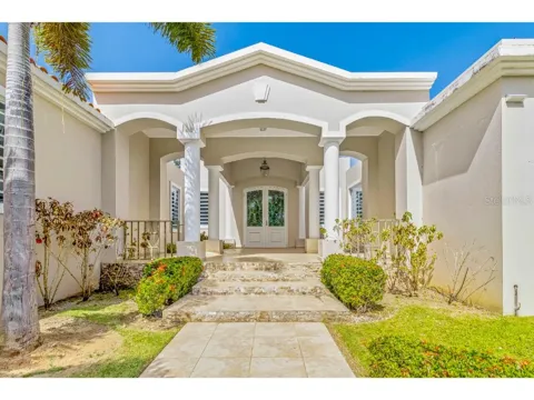
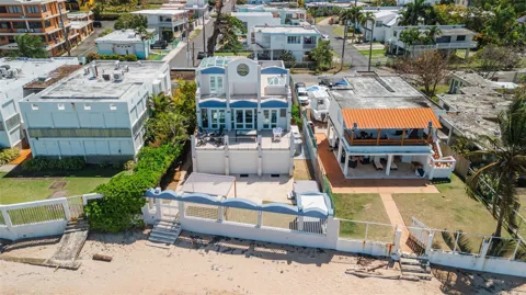
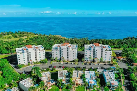
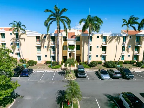
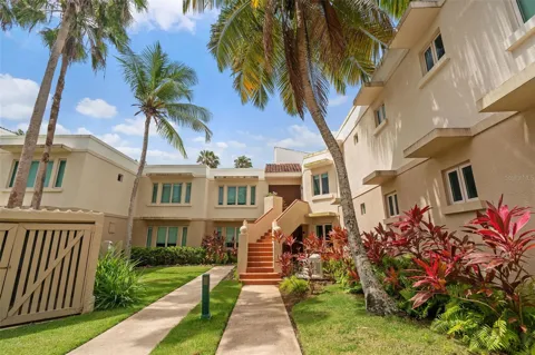
Vega Alta's housing market reflects its coastal location and its position on the edge of the San Juan metro. The stock ranges from established single-family homes in the town center and inland barrios to beach-adjacent residences and newer residential developments near the coast, with some condominium and vacation-oriented properties near Cerro Gordo and the expressway corridor. Construction spans older concrete homes common across Puerto Rico to more recent suburban-style developments. The municipality's mix of coastline, golf courses, and forest, combined with commute access to San Juan, makes it appealing to both full-time residents and second-home buyers seeking northern-coast living at more attainable prices than the capital.
Neighborhoods
Vega Alta is divided into seven barrios that range from the coastal plain to inland hills. The pueblo, or town center, holds the plaza, the Inmaculada Concepción Church, and the municipal government, preserving the classic layout of a Puerto Rican town. The Cerro Gordo area along the coast is the municipality's recreational and beachfront district, with the balneario, camping areas, and water access. Inland barrios rise toward the Vega Alta Forest and the boundary with Morovis and Corozal, mixing residential streets with pockets of agricultural land. PR-2 and PR-22 trace the northern corridor, giving the coastal barrios their commuter-oriented, increasingly suburban character.
Lifestyle in Vega Alta
Life in Vega Alta balances beach-town ease with proximity to the San Juan metro. Cerro Gordo Beach is the community's gathering point, drawing families, swimmers, and water-sports enthusiasts to its calm, white-sand shore, while the town center around the Inmaculada Concepción Church preserves a traditional Puerto Rican plaza culture. The patron-saint festival honoring the Immaculate Conception each December anchors the civic calendar. With its coastal setting, golf courses, forests, and a short expressway ride to San Juan's jobs and amenities, Vega Alta attracts a mix of local families, commuters, and retirees seeking a relaxed northern-coast lifestyle without leaving the metro's orbit.
Schools & Education
Education in Vega Alta is administered by the Puerto Rico Department of Education, which operates the public school system across the island's municipalities. The municipality's public schools serve students from elementary through high school, with additional private and parochial institutions available in the surrounding northern-coast region. Vega Alta's location along PR-22 also places it within commuting reach of colleges and universities in the San Juan metropolitan area, giving residents access to the island's largest concentration of higher-education options.
Getting Around
PR-22, Puerto Rico's northern toll expressway, is Vega Alta's main artery, running through the municipality and connecting it to San Juan in about 45 minutes and to other northern-coast towns in the opposite direction. PR-2 parallels the coast as a slower local alternative, linking Vega Alta to Dorado and Vega Baja. The expressway's toll plaza in Vega Alta makes the municipality a practical base for commuters working in the San Juan metro, while the town's internal road network serves its coastal and inland barrios. There is no rail service, so daily travel is car-based.
Parks & Recreation
Cerro Gordo Beach is Vega Alta's recreation centerpiece, a white-sand balneario with calm water, sea turtles, camping facilities, picnic areas, and water sports, plus snorkeling along its rockier western points. The Vega Alta Forest offers inland trails and green space, and Golondrinas Cave adds a geological attraction near the coast. The municipality's golf courses serve local enthusiasts, while the town plaza and patron-saint festival provide cultural recreation. Being on the northern coast, residents have easy access to the beaches of Dorado and the wider San Juan metro's parks and attractions, all within a short drive along PR-22.
MARKET SNAPSHOT
The Market at a Glance
How homes have been selling here over the last 90 days.
Price & Sales History
Market data reflects closed sales over the last 90 days and is provided for informational purposes.
For sale
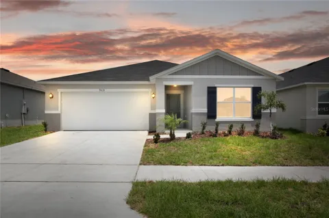
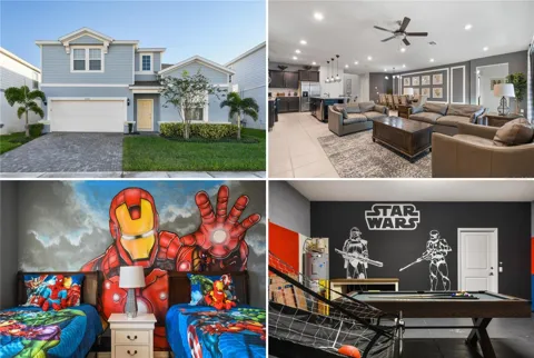
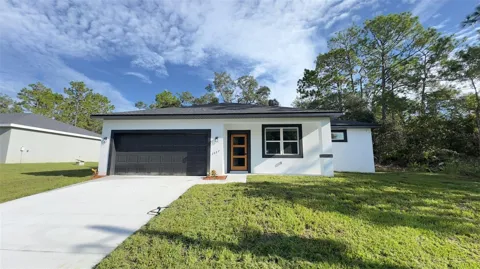
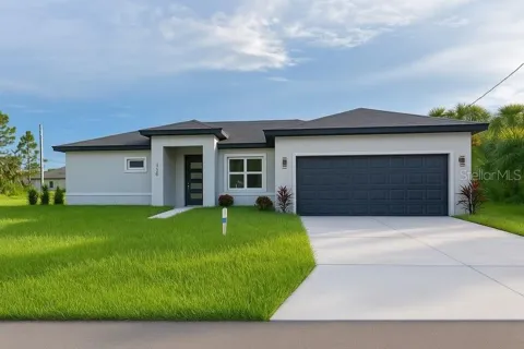
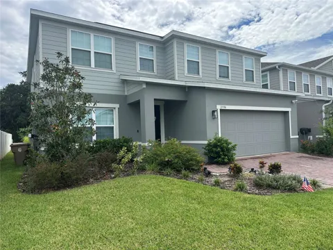
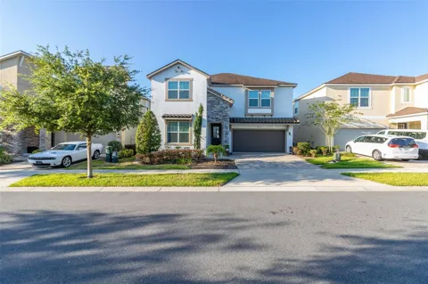
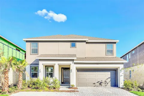
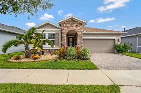
Houses in Vega Alta, PR
Handpicked properties hitting the scene in your area.
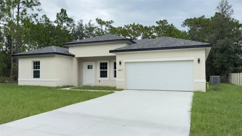
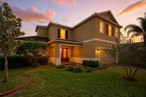
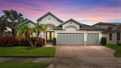
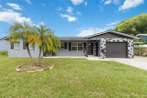
For sale
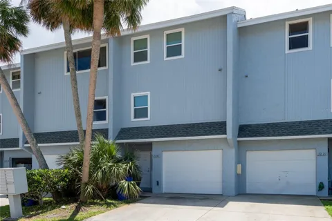
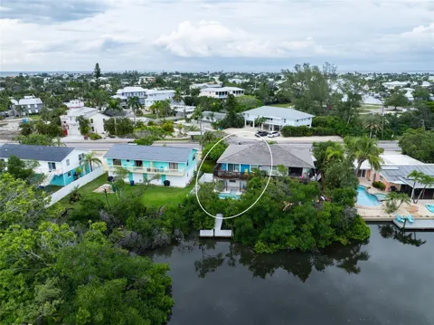
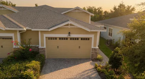
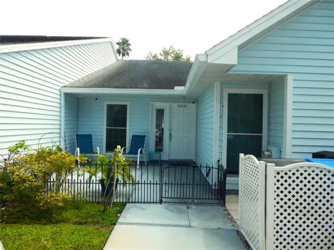
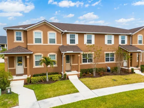
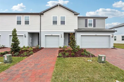
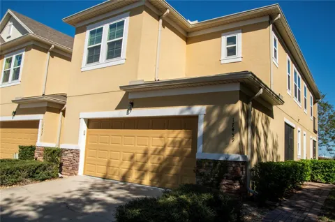
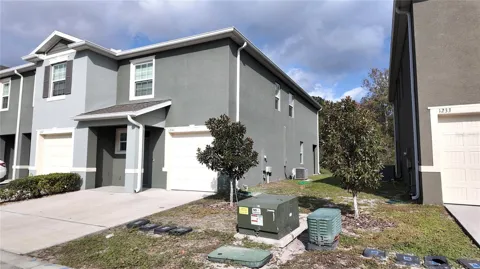
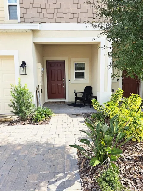
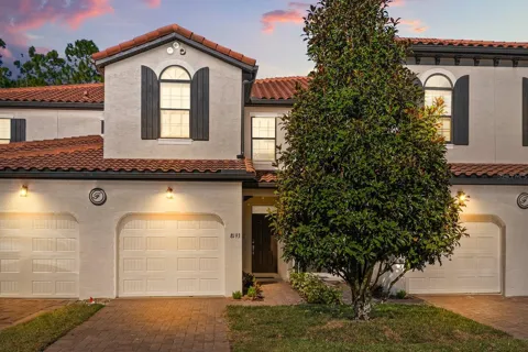
Townhomes in Vega Alta, PR
Handpicked properties hitting the scene in your area.
For sale
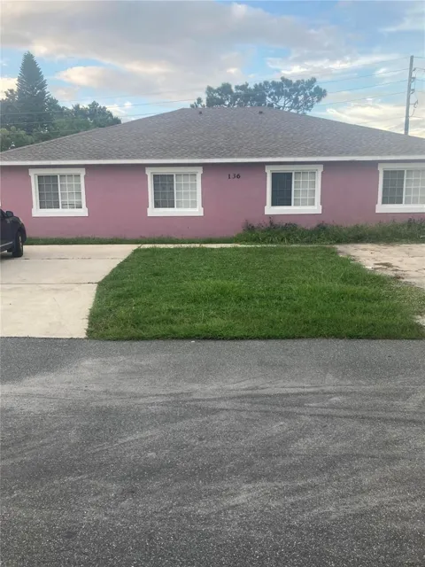
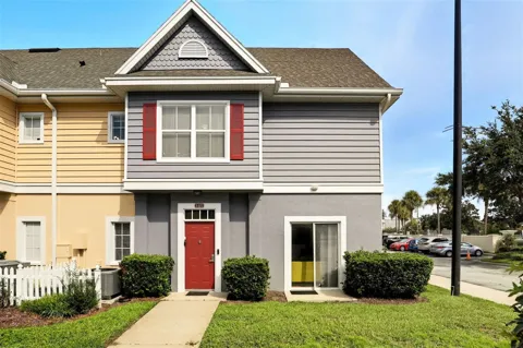
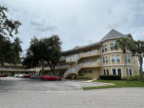
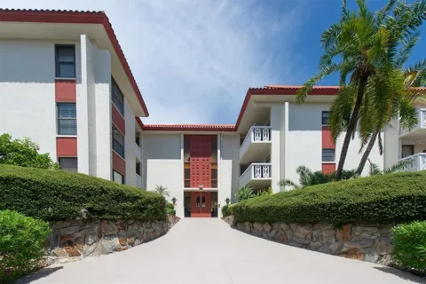
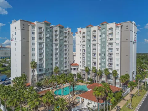
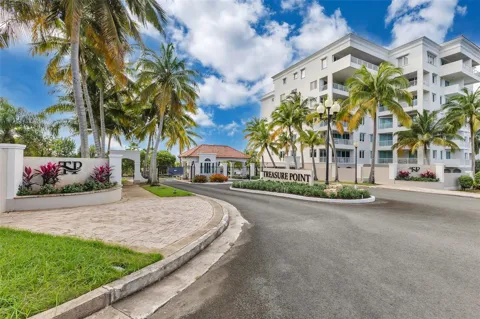
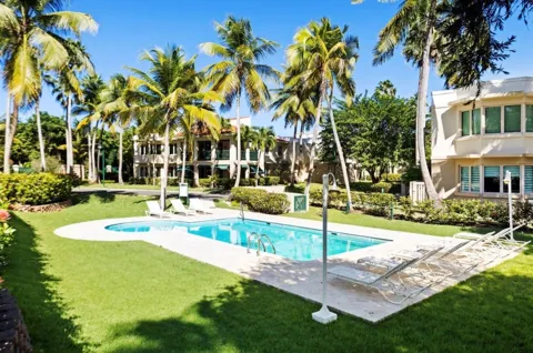
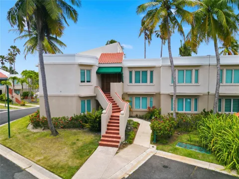
Condos in Vega Alta, PR
Handpicked properties hitting the scene in your area.
Zip Codes
BROWSE BY ZIP
Browse listings by postal code in this area.
- Grid
- Map
- List

International Realty Plus
1313 Providence Road Brandon, FL 33511